Value proposition
[Automatic translation follows] A data expert at the service of public decision
GIP ATGERI: an expert in data at the service of public decision.
The Public Interest Group Public Planning and Risk Management (www.gipatgeri.fr) is a neutral structure that has developed reliable public decision-making tools for its new Aquitaine members, the State Council of Nouvelle-Aquitaine, local authorities, the DFCI Aquitaine, SDIS (departmental fire and rescue services) since 2005. Forests), the IGN (the National Institute of Geographic Information and Forestry), the Gironde Departmental Council and the Sylviculturers' Union in the Southwest.
GIP ATGERI has thus developed a range of services based on data:
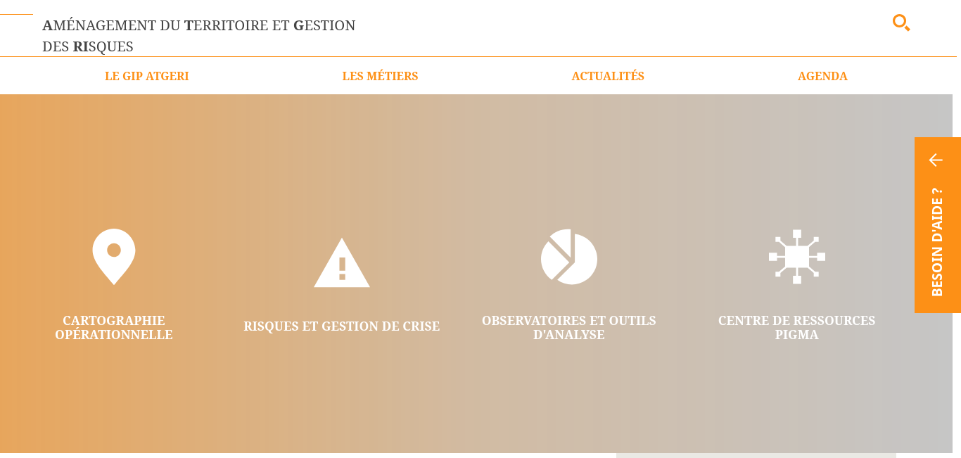
- its representation by cartography,
- Dashboards and analysis tools,
-Observatories (Nafu, Observatory of natural, agricultural, forestry and urban spaces, www.observatory-nafu.fr; Orrna, Regional Risk Observatory Aquitaine, www.observatory-risques-nouvelle-aquitaine.fr),
- An organized data exchange platform based on the pooling of information (Pigma Data exchange platform in New Aquitaine Plateww.pigma.org).
To do this, the GIP ATGERI relies on an engineering of the governance of the data based on:
- a systemic approach to the territory and the issues thanks to the crossing of very diverse fields of activity,
- The work in interservices within the public and private sphere which is based on an expertise in mediation and a sharing of the territory,
- a common language logic,
- Crisis management expertise, backed by a very rapid diagnostic capacity,
- know-how in mapping, representation of the territory and the images.
Data, mapping, data governance, dashboards, analysis tools, data visualization, piloting, and crisis managementOriginal language
Un expert de la donnée au service de la décision publique
Le GIP ATGeRi : Un expert de la donnée au service de la décision publique.
Le Groupement d’Intérêt Public Aménagement du Territoire et Gestion des Risques (www.gipatgeri.fr) est une structure neutre qui développe depuis 2005 des outils fiables d’aide à la décision publique pour ses membres en Nouvelle Aquitaine que sont l’Etat, le Conseil Régional de Nouvelle-Aquitaine, les collectivités territoriales, la DFCI Aquitaine, les SDIS (Services Départementaux d’Incendie et de Secours) d’Aquitaine, l’ONF (l’Office National des Forêts), l’IGN (l’Institut National de l’Information Géographique et Forestière), le Conseil Départemental de la Gironde et le Syndicat des Sylviculteurs du Sud-Ouest.
Le GIP ATGeRi a ainsi développé une gamme de services basée sur la donnée :
- sa représentation par la cartographie,
- des tableaux de bord et outils d’analyse,
- des observatoires (NAFU, Observatoire des espaces naturels, agricoles, forestiers et urbains , www.observatoire-nafu.fr ; ORRNA, Observatoire Régional des Risques Nouvelle Aquitaine, www.observatoire-risques-nouvelle-aquitaine.fr),
- une plateforme d’échange de données, organisée, fondée sur la mutualisation des informations (PIGMA Plateforme d’échange de données en Nouvelle Aquitaine platewww.pigma.org).
Pour ce faire, le GIP ATGeRi s’appuie sur une ingénierie de la gouvernance de la donnée basée sur :
- une approche systémique du territoire et des problématiques grâce au croisement de domaines d’activités très divers,
- le travail en interservices au sein de la sphère publique et privée qui repose sur une expertise de la médiation et un partage du territoire,
- une logique de langage commun,
- une expertise en gestion de crise, adossée à une capacité de diagnostic très rapide,
- un savoir-faire en matière de cartographie, représentation du territoire et la mise en images.
donnée, cartographie, gouvernance de la donnée, tableaux de bord, outils d'analyse, visualisation de la donnée, pilotage, and gestion de crise
Accueil
https://gipatgeri.fr/
| Corporate | Type | Tweets | Articles | |
|---|---|---|---|---|
| Ministère de l'Intérieur Government Administration | Ministère de l'Intérieur Government Administration | Other | ||
| INNO'VIN Beverage Manufacturing | INNO'VIN Beverage Manufacturing | Other 14 Apr 2025 | | |
| Enedis Energy | Enedis Energy | Other 4 Mar 2025 | | |
| Eurométropole de Metz Government Administration, French metropolis | Eurométropole de Metz Government Administration, French metropolis | Other 11 Feb 2025 | | |
| ADEME National and local authorities, Environmental Services | ADEME National and local authorities, Environmental Services | Other 30 Nov 2024 | | |
| FNCCR Environment, Non-profit Organizations | FNCCR Environment, Non-profit Organizations | Other 28 Jun 2024 | | |
| | Centre National d'Études Spatiales | Other 12 Nov 2024 | | |
| UNITEC IT Services and IT Consulting | UNITEC IT Services and IT Consulting | Other 16 May 2024 | | |
| BRGM Environmental Services | BRGM Environmental Services | Other 22 Jun 2024 | | |
| ONF (Office National des Forêts) Government Administration | ONF (Office National des Forêts) Government Administration | Other 30 Nov 2024 | | |